By utilizing satellite data and machine learning technology, NASA is playing a crucial role in safeguarding California against devastating wildfires. This innovative approach assists emergency responders and officials in identifying the regions that are most susceptible to wildfire outbreaks.
Christopher Potter, a Senior Research Scientist at NASA, has a deep-rooted passion for the well-being of our planet. His work involves studying satellite data provided by NASA to gain insights into the intricate workings of Earth’s ecosystem and to safeguard it from potential threats.
Potter, who has been with the company for 30 years, acknowledges the current “Golden Age of remote sensing of satellite imagery.” With an abundance of data at their disposal, Potter and his team strive to keep up with the sheer volume of information available to them.
RELATED STORIES


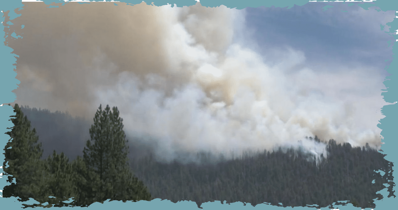
NASA experts have observed a rise in the severity, intensity, and duration of wildfires. With the aid of satellite data, they can accurately identify the areas with the highest potential for catastrophic wildfires. By analyzing visible images, they can determine the level of greenery on the ground. Infrared images provide insight into the fuel moisture content, which indicates how dry the vegetation is. Thermal images show the temperature of the Earth’s surface, aiding in predicting the likelihood of wildfires.
Potter explained that by utilizing imagery prior to the fire, it becomes possible to anticipate the areas where the fire will burn the brightest, the locations where defending will be the most challenging, and the spots where structures and areas will be at the greatest risk and most vulnerable.
Potter explained that the map displayed the real SCU lightning fire complex.
NASA’s technology was able to predict the SCU Lightning Complex Fires’ burn severity accurately in August 2020. Utilizing satellite images captured in the spring and July, just prior to the outbreak of the fires, NASA’s machine learning conducted millions of model runs. Within a matter of hours, the technology selected the most precise model that aligned with the actual events.
Knowing this critical information can assist firefighters in identifying areas that are at the highest risk of wildfires. With this knowledge, they can take proactive measures such as controlled burns and forest management to prevent fires from occurring in the first place.
Potter expressed gratitude for having the chance to make a significant impact and acknowledged the rarity of such opportunities. “It’s a stroke of luck when you’re able to come across it on your own,” he stated.
Potter feels immense gratitude and pride in knowing that his contributions to NASA will make a tangible difference in preserving our beloved planet. He is determined to work towards enacting real change and safeguarding the beauty of our home.
Every week, NASA scientists analyze a combination of satellite images as part of their research.
According to experts, before the start of the wildfire season, satellite images indicated an abundance of vegetation due to the winter and spring rainfall. As the summer and fall temperatures rise, this vegetation is expected to dry out. Scientists have warned that the occurrence of strong winds, specifically the dry, offshore winds, will pose a significant threat.